15 Days Annapurna Circuit Trek via Tilicho

Mountain Icon

Max. Altitude

5,416m

Meals Icon

Meals Included

B.L.D

Breakfast
Lunch
Dinner

Season Icon

Best Season

March-May, September-November

Transportation Icon

Transportation

Bus & Jeep

Duration Icon

Duration

15 Days

Region Icon

Trek Region

Annapurna Region Trek Packages

Destination Icon

Destination

Nepal

Destination Icon

Group Size

1 - 20

Grade Icon

Grade

Strenuous
Activity Icon

Activity Per Day

6 Hours

Start End Icon

Start/End Point

Pokhara - Pokhara

Nature Icon

Nature Of Trek

Lodge to Lodge trekking

Overview of Tilicho Lake Via Annapurna Circuit Trek

The 15 days Annapurna Circuit Trek Via Tilicho is a famous trek in central Nepal. The trek begins from Besishahar, a small town, and takes you through many types of landscapes. While walking upwards, you will see green valleys, dense forests, and high mountain deserts. The highest point of the trek is Thorong La Pass, at 5,416 meters (17,769 feet). Among the various highlights lies Tilicho Lake, one of the highest lakes in the world, having immense blue water surrounded by snowy peaks.

During this trek, you will see many beautiful mountain views. You will pass by the towering Annapurna and Dhaulagiri ranges, and each day offers something new to see. At Poon Hill, you can enjoy a famous sunrise view over the mountains, where the peaks glow in the morning light. With this adventure, you can see many rivers, waterfalls, and peaceful valleys. Each view makes the trek feel magical and excites you for what’s next.

You get to encounter very friendly locals from the Gurung, Thakali, and Tibetan communities. The villages have their own traditions and a simple lifestyle. You will see Buddhist shrines, prayer flags, and old monasteries. You will often be warmly greeted by the locals, who will tell you stories and make you feel at home. All of this together, including nature and culture, makes the trek an unforgettable adventure.

Itinerary of 15 Days Tilicho Lake via Annapurna Circuit Trek

Day 1: Drive to Besishahar and Trek to Bulbule

As the starting day of our adventure, we will depart early in the morning, around 7 AM, for a scenic drive to Besishahar, covering approximately 200 km. From Besishahar, we will start our trek to Bulbule, where we will pass through lush green fields and traditional villages like Khudi.

The trail meanders along the banks of the Marsyangdi River, offering stunning views of the surrounding hills and the first glimpses of the Annapurna range.  Upon arrival in Bulbule, we will settle into a cozy lodge, where we can enjoy our first dinner in the mountains.

Itinerary Details
Itinerary Fact Details
Meals Icon
Meals
Breakfast, Lunch, Dinner (BLD)
Accommodation Icon
Accomodations
Lodge in Bulbule
Distance Icon
Trek Distance
200 km (124 miles)
Mountain Icon
Highest Altitude
845 m (2,815 ft)
Duration Icon
Trek Duration
6-7 hours

Day 2: Bulbule to Jagat

On Day 2, we will trek from Bulbule to Jagat, a journey of about 16 km (9.8 miles). We will depart mid-morning at around 8 am, enjoying a beautiful trail that includes waterfalls and dense forests. As we ascend, we will experience views of the towering peaks of the Annapurna range, including Annapurna II.

After a walk of about 7 hours, we will finally reach Jagat, at an altitude of 1,300 meters (4,265 feet). It is a charming Gurung village with stone houses and a rich culture. Today’s trek is moderately challenging, rewarding us with breathtaking scenery.

Itinerary Details
Itinerary Fact Details
Meals Icon
Meals
BLD
Accommodation Icon
Accomodations
Lodge in Jagat
Distance Icon
Trek Distance
16 km (9.8 miles)
Mountain Icon
Highest Altitude
1,300 m (4,265 ft)
Duration Icon
Trek Duration
6-7 hours

Day 3: Jagat to Dharapani

After breakfast at 7 am, we will leave Jagat early in the morning for our trek to Dharapani. Today’s trek covers a total distance of 15 km. The trail offers panoramic views of the Annapurna massif, with glimpses of peaks like Annapurna II and Lamjung Himal along the way.

We will pass through the small villages of Chamje and Tal, where we can observe the daily life of the Gurung people.  The trail continues to follow the Marsyangdi River and ascends into more rugged terrain until we reach Dharapani at 1,860 meters (6,200 feet).

Itinerary Details
Itinerary Fact Details
Meals Icon
Meals
BLD
Accommodation Icon
Accomodations
Lodge in Dharapani
Distance Icon
Trek Distance
15 km (9.5 miles)
Mountain Icon
Highest Altitude
1,860 m (6,200 ft)
Duration Icon
Trek Duration
6-7 hours

Day 4: Dharapani to Chame

Today’s trek covers approximately 16 km from Dharapani to Chame. The Chame is an administrative center of the Manang District. Departing in the morning, we will navigate through forests of pine and fir and cross a few suspension bridges.

As we walk, we will pass through the village of Bagarchhap. The Annapurna massif will be clearer, especially the Annapurna II and Lamjung Himal, as we get near the Chame village. Upon reaching here, you can glimpse the local culture, including traditional stone architecture.

Itinerary Details
Itinerary Fact Details
Meals Icon
Meals
BLD
Accommodation Icon
Accomodations
Lodge in Chame
Distance Icon
Trek Distance
16 km (9.7 miles)
Mountain Icon
Highest Altitude
2,610 m (8,890 ft)
Duration Icon
Trek Duration
6-7 hours

Day 5: Chame to Upper Pisang

We will set off from Chame around 8 AM, making our way to Upper Pisang. Leaving in the morning, we will trek along a relatively gentle path that ascends gradually, providing breathtaking views of the Pisang Peak.

Along the way, we will pass through pine forests and small villages like Lower Pisang. Today’s trek offers us a chance to witness the local lifestyle of the Gurung people. Upper Pisang, at an altitude of 3,115 meters, offers beautiful views of the majestic Annapurna range.

Itinerary Details
Itinerary Fact Details
Meals Icon
Meals
BLD
Accommodation Icon
Accomodations
Lodge in Upper Pisang
Distance Icon
Trek Distance
13.6 km (8 miles)
Mountain Icon
Highest Altitude
3,115 m (10,200 ft)
Duration Icon
Trek Duration
5-6 hours

Day 6: Upper Pisang to Manang

On Day 6, we will embark on a longer trek of 17 km (10.4 miles) to Manang, where the altitude rises to 3,540 meters. We will depart in the morning and have the option to take a detour that provides stunning views of the Annapurna II and IV.

We pass through the village of Bhraka, where we will have the opportunity to visit local monasteries and learn about the community’s spiritual life.  When we arrive in Manang, we will notice the change in vegetation and culture, which will prepare us for the high-altitude environment we are entering.

Itinerary Details
Itinerary Fact Details
Meals Icon
Meals
BLD
Accommodation Icon
Accomodations
Lodge in Manang
Distance Icon
Trek Distance
17 km (10.4 miles)
Mountain Icon
Highest Altitude
3,540 m (11,300 ft)
Duration Icon
Trek Duration
7-8 hours

Day 7: Acclimatization Day in Manang

Today marks the first acclimatization day of our entire journey. At an altitude of over 3,000, we will take a first rest day, allowing our bodies to adjust to the altitude. As today is a day off, you can either take a whole day’s rest in your lodge, explore the beautiful village, and interact with locals, or take a short hiking adventure towards  Gangapurna Lake and Gangapurna Glacier. This day is crucial for our health and safety as we prepare for the higher altitudes.

Itinerary Details
Itinerary Fact Details
Meals Icon
Meals
BLD
Accommodation Icon
Accomodations
Lodge in Manang

Day 8: Manang to Tilicho Base Camp

On Day 8, we will begin our trek to Tilicho Base Camp early, departing around 7 AM. Today, we will cover a total of 15 km (9 miles) until we reach Tilicho Base Camp at an altitude of 4,150 meters. The trail will become more challenging as we ascend. The landscape transforms into a rugged terrain, but rewarding with the stunning views of Tilicho Peak.

We can witness traditional Tibetan architecture and culture as we make our way through the village of Khangsar. Upon reaching the base camp, we will take in the breathtaking scenery and prepare for the trek to Tilicho Lake the next day.

Itinerary Details
Itinerary Fact Details
Meals Icon
Meals
BLD
Accommodation Icon
Accomodations
Lodge at Tilicho Base Camp
Distance Icon
Trek Distance
15 km (9 miles)
Mountain Icon
Highest Altitude
4,150 m (13,615 ft)
Duration Icon
Trek Duration
6-7 hours

Day 9: Tilicho Lake to Shree Kharka

Today, we will hike to Tilicho Lake, located at 4,920 meters (16,138 feet), before making our way to Shree Kharka, covering a distance of about 11 km (6.8 miles). We will depart from Tilicho Base Camp around 7 AM. The trek today will be more physically demanding, with some step ascent and rocky paths.

However, the sights of the turquoise lake surrounded by towering mountains will be a highlight of the trek. After enjoying the tranquility of the lake, we will descend to Shree Kharka, where we can relax in a lodge surrounded by the stunning mountain landscape.

Itinerary Details
Itinerary Fact Details
Meals Icon
Meals
BLD
Accommodation Icon
Accomodations
Lodge in Shree Kharka
Distance Icon
Trek Distance
11 km (6.8 miles)
Mountain Icon
Highest Altitude
4,920 m (16,138 ft)
Duration Icon
Trek Duration
7-8 hours

Day 10: Shree Kharka to Ledar

On Day 10, we will trek approximately 10 km to Ledar, reaching an altitude of 4,200 meters. Starting our journey at about 8 am, the trail today will lead us through dramatic landscapes with rocky paths and high-altitude vegetation.

As we walk, we will enjoy views of the surrounding peaks and valleys. Reaching Ledar will mark another step closer to the Thorong La Pass, and we will settle into our lodge for a restful night.

Itinerary Details
Itinerary Fact Details
Meals Icon
Meals
BLD
Accommodation Icon
Accomodations
Lodge in Ledar
Distance Icon
Trek Distance
10 km (6.4 miles)
Mountain Icon
Highest Altitude
4,200 m (13,779 ft
Duration Icon
Trek Duration
6-7 hours

Day 11: Ledar to High Camp

We will depart from Ledar for High Camp at around 8 am. We will cover a total distance of 7.8 km and ascend to 4,925 meters (16,160 feet). This leg of the journey will be shorter but steeper as we get closer to the pass.

The trail will provide stunning vistas of the mountains, like the Annapurna ranges, and we may encounter snow along the way. High Camp will be our final stop before crossing Thorong La, where we will spend the night preparing for the challenges of the next day.

Itinerary Details
Itinerary Fact Details
Meals Icon
Meals
BLD
Accommodation Icon
Accomodations
Lodge at High Camp
Distance Icon
Trek Distance
7.8 km (5 miles)
Mountain Icon
Highest Altitude
4,925 m (16,160 ft)
Duration Icon
Trek Duration
4 hours

Day 12: High Camp to Thorong La Pass and Muktinath

On Day 12, we will wake up early and depart from High Camp around 5 AM for the trek to Thorong La Pass. We will start early in the morning to reach the pass before noon, facing steep and potentially snowy paths. The exhilaration of standing at the highest point of our trek will be unmatched, with breathtaking views of the surrounding peaks, including Dhaulagiri and Annapurna.

After crossing the pass, we will descend to Muktinath, a significant pilgrimage site. Upon reaching here, you can immerse yourself in the spiritual atmosphere and explore the sacred temples.

Itinerary Details
Itinerary Fact Details
Meals Icon
Meals
BLD
Accommodation Icon
Accomodations
Lodge with private bathroom in Muktinath
Distance Icon
Trek Distance
14 km (8.9 miles)
Mountain Icon
Highest Altitude
5,416 m (17,756 ft)
Duration Icon
Trek Duration
7-8 hours

Day 13: Muktinath to Tatopani (Drive)

On Day 13, we will take a break from trekking and drive from Muktinath to Tatopani. This scenic drive, departing around 9 AM, will allow us to enjoy the dramatic landscapes of the Kali Gandaki Valley.

We will have the chance to see the impressive gorges and lush vegetation along the way. Upon reaching Tatopani, known for its natural hot springs, we can relax and rejuvenate after our strenuous trek.

Itinerary Details
Itinerary Fact Details
Meals Icon
Meals
BLD
Accommodation Icon
Accomodations
Lodge with private bathroom in Tatopani
Distance Icon
Trek Distance
75 km (46 miles)
Mountain Icon
Highest Altitude
3,760 m (12,623 ft)
Duration Icon
Trek Duration
4-5 hours

Day 14: Tatopani to Ghorepani

On Day 14, we will trek approximately 17 km (10 miles) from Tatopani to Ghorepani, ascending to an altitude of 2,860 meters (9,385 feet). We will begin our trek in the morning, passing through beautiful terraced fields and dense forests.

As we climb, we will enjoy views of Dhaulagiri and Annapurna South. Ghorepani is a bustling village that serves as a popular stop for trekkers, and we will settle in for the night, ready for an early morning hike to Poon Hill.

Itinerary Details
Itinerary Fact Details
Meals Icon
Meals
BLD
Accommodation Icon
Accomodations
Lodge with private bathroom in Ghorepani
Distance Icon
Trek Distance
17 km (10 miles)
Mountain Icon
Highest Altitude
2,860 m (9,385 ft)
Duration Icon
Trek Duration
6-7 hours

Day 15: Ghorepani to Poon Hill, Uller, and Jeep to Pokhara

On our final day, we will wake up early to trek about 10 km to Poon Hill for an unforgettable sunrise view over the Himalayas. From this viewpoint, you will witness the golden light illuminating the peaks of Annapurna and Dhaulagiri.

After soaking in the views, we will return to Ghorepani, enjoy breakfast, and then take a jeep ride to Pokhara. This journey will end our incredible trek, filled with memories of stunning landscapes, local cultures, and personal achievements.

Itinerary Details
Itinerary Fact Details
Meals Icon
Meals
BLD
Accommodation Icon
Accomodations
Luxury hotel with breakfast in Pokhara
Distance Icon
Trek Distance
10 km (6 miles)
Mountain Icon
Highest Altitude
3,210 m (10,525 ft)
Duration Icon
Trek Duration
4-5 hours

Essential Information

Major attractions in the Tilicho Lake via Annapurna Circuit Trek

Tilicho Lake

Tilicho Lake is a must-see as it is one of the highest lakes in the world, standing at an elevation of 4,919 meters (16,138 feet). It is set against the stunning backdrop of snowy peaks like Tilicho Peak and Khangsar KangThe ascends to reach here can be quite challenging with demanding ascends. However, upon reaching here, you can witness the turquoise waters surrounded by mountains, which make every step worth it.

Thorong La Pass

Considered to be the highest elevation of the entire trek at 5,416 meters (17,756 feet)passing Thorong La Pass can be both exhilarating and demanding. Standing at the top, you will witness breathtaking views of the Annapurna and Dhaulagiri ranges, with expansive mountain vistas stretching as far as the eye can see. This pass is a meeting point for natural and spiritual wonders, as here you can see a number of prayer flags left behind to mark the success of the journey.

Muktinath

Muktinath is a sacred site at an altitude of 3,800 meters (12,467 feet), revered by both Hindu and Buddhist pilgrims. Here, you can get not only a peaceful spiritual ambiance but also amazing views from this temple. In this temple, you will get 108 waterspouts and an eternal flame fed by natural gas. As you explore this ancient temple, you will experience the spiritual atmosphere and can even learn about its cultural significance.

Poon Hill

Poon Hill, at 3,210 meters (10,531 feet), is famous for its panoramic sunrise views over the Annapurna and Dhaulagiri ranges. Early morning, as you ascend, the peaks, including Annapurna South, Machapuchare, and Dhaulagiri, light up in hues of pink and gold. This magical sunrise during the final stretch of the trek creates an unforgettable beauty, leaving you with a long-lasting memory of the Annapurna region.

Trekking Distance and Route For Tilicho Lake via Annapurna Circuit Trek

The trek to Tilicho Via Anapurna Circuit Trek covers a total distance of 489.4 kilometers, starting from Kathmandu and ending in PokharaTo begin with, we will take a long rice trip to Besishar from Kathmandu and then start our trekking adventure from there. Our first stop will be Bulbule. Making our way through villages like Jagat and Dharapani, we will now gradually start our ascending journey.

Experiencing the beautiful views and villages, we will pass through Chame and Upper Pisang and finally make our way to ManangFrom here, we can see the top of the Annapurna Ranges. After Manang, we will head toward Tilicho Base Camp and then hike to the breathtaking Tilicho Lake, one of the trek’s highlights.

From here, we will follow the path to Shree Kharka and Ledar, preparing for the crossing of Thorong La Pass, the highest point on our trek. We will then reach Muktinath, a sacred pilgrimage site, before driving down to Tatopani. Our final stretch will take us to Ghorepani and Poon Hill. Then, we will take a jeep ride that will bring us to our ending destination, Pokhara. Finally, our 15-day journey concludes with a bunch of memories to remember throughout life.

Here is the breakdown of the total distance you will be covering in this adventure:

  • Total Trekking Distance: 169.4 km (105.3 miles)
  • Total Driving Distance: 320 km (198.8 miles)
    Day Route Distance (km) Highest Altitude (meter)
    1 Drive to Besishahar and Trek to Bulbule 200 845
    2 Bulbule to Jagat 16 1,300
    3 Jagat to Dharapani 15 1,860
    4 Dharapani to Chame 16 2,610
    5 Chame to Upper Pisang 13.6 3,115
    6 Upper Pisang to Manang 17 3,540
    7 Acclimatization Day in Manang 3,540
    8 Manang to Tilicho Base Camp 15 4,150
    9 Tilicho Lake to Shree Kharka 11 4,920
    10 Shree Kharka to Ledar 10 4,200
    11 Ledar to High Camp 7.8 4,925
    12 High Camp to Thorong La Pass and Muktinath 14 5,416
    13 Muktinath to Tatopani (Drive) 75 3,760
    14 Tatopani to Ghorepani 17 2,860
    15 Ghorepani to Poon Hill, Uller, and Jeep to Pokhara 10 (trek) + 45 (drive) 3,210

What can you expect during the Tilicho Lake via Annapurna Circuit Trek?

Panoramic Mountain Views

Trekking to Tilicho Lake via Annapurna Circuit offers you a chance to witness the beautiful panoramic views of the Himalayas. You can see the close view of the 8th highest mountain in the world, Mount Manaslu, and the 10th highest mountain, Mount Annapurna II. In addition to that, you can also witness other Annapurna ranges, such as Nilgiri, Tilicho Peak, Himlung Himal, Khangsar Peak, and Muktinath Peak.

Ultimate Annapurna Experience

The Annapurna Circuit Trek route is almost 300 km long, although we will only hike some of it. But this route takes you to nearly every wonder in the Annapurna region, from the highest freshwater lake to the world’s deepest gorge. You will also hike through the Himalayan Pass and Thorung La Pass. You can also witness the rich culture of Gurung and Thakali people on your way towards the Tilicho Lake.

Cultural Encounters and Unique Villages

As mentioned, you can get the ultimate Annapurna adventure with this adventure. Most of the people residing here are Gurung and Thakalis. You can witness their unique Tibetan-inspired culture, traditions, and customs. Furthermore, you can also interact with local communities and visit ancient monasteries. Some major villages include Manang, Braga, and Khangsar. Each village you pass will show you unique local traditions, architecture, and warmth.

Varied Landscapes and Ecosystems

As you trek through the Annapurna Circuit towards Tilicho Lake, you will experience a stunning variety of landscapes and ecosystems. From lush subtropical forests and terraced farmlands in the lower regions to barrenalpine terrain as you gain elevation, each day offers a new scenic environment. The diverse flora and flora lying inside the Annapurna Conservation Area can also be worth witnessing.

Remote Wilderness

Want to have a unique remote experience in Nepal’s Himalayas? This can be an ideal choice for you, along with beautiful views. The trek takes you through the remote and untouched beauty of the Annapurna Region. Along with this adventure, you can submerge yourself in the serenity and beauty of the Himalayan landscape out of your busy life. Also, the lower crowds and clean environment can be a beautiful thing to watch.

Tilicho Lake via Annapurna Circuit Trek Difficulty

The Tilicho Lake via Annapurna Circuit Trek is quite a challenging adventure. Considered to have a strenuous level of difficulty, to complete this adventure, you need to be prepared well. The trek involves more than 2 days of adventure, where generally a day hike lasts from 6 to 7 hours, with beautiful mountain views. Climbing for long hours in steep, rugged terrain can be quite physically demanding.

If you have some past hiking experience, this can add some level of ease to your journey. Trekking to a higher altitude can be dangerous as you might get altitude sickness. Your adventure crosses over 5,000 metersThus, getting shortness of breath, dizziness, and headache can be common.

Also, the weather in the Himalayas is unpredictable, and the same goes with this trekking adventure. The weather can be sunny in the morning, and suddenly, the clouds can cover the beauty of the surrounding landscapes. Rain and snowfall in some sections are also common. Requiring a high level of physical fitness and mental resilience, this trek can be considered quite a thrilling adventure.

Essential Trekking Permits

The permits needed for Tilicho Lake with Annapurna Circuit Trek are Annapurna Conservation Area Permit (ACAP) and the Trekkers Information Management System (TIMS) card. Getting these two permits is essential if you ever plan to trek in the Annapurna region of Nepal. Let’s learn more about these permits in detail:

Annapurna Conservation Area Permit (ACAP)

As the trek passes within the Annapurna Conservation Area, getting the ACAP is essential for you. This permit is mainly issued to protect the rich biodiversity and natural beauty of the area. Having this permit with you ensures you are a responsible traveler. For the Annapurna Conservation Area Permit (ACAP), your entry checkpoint is typically at Besisahar, Nayapul, or Dharapani, depending on where you start the trek, and you will need to show it again at various checkpoints within the region.

Nationality Cost
Nepali NPR 100
SAARC NPR 1000
Others NPR 3000

Trekkers Information Management System (TIMS) card

The TIMS card is required for all trekkers and records trekker data, providing safety and security throughout the journey. This system helps track trekkers for emergencies and in case of natural disasters. This way, only the registered trekkers can enter certain areas, as this will help manage visitors and reduce environmental impacts. Similar to ACAP, the TIMS card is checked at Besisahar, Nayapul, or Dharapani, and an exit check is conducted at the end of your trek, often at Jomsom or Nayapul.

Nationality TIMS Card (Individual Trekkers) TIMS Card (Group Trekkers)
Nepali NPR 300 NPR 100
SAARC NPR 1000 NPR 300
Other NPR 2000 NPR 1000

Lodges/ Teahouses During Tilicho Lake via Annapurna Circuit Trek

During the Annapurna Circuit trek, including the Tilicho Lake route, lodges/ teahouses provide essential accommodations for trekkers. Local families typically run these lodges and offer a cozy atmosphere. Staying in these lodges, you can experience the warmth of Nepali hospitalityThey provide basic amenities, including clean beds, shared bathrooms, and communal dining areas. However, the accommodations vary in comfort and price.

You can generally expect a welcoming environment at each stop along the trail. Staying in these lodges allows you to rest and recharge after long days of trekking. Many teahouses here offer stunning views of the mountains that can be enjoyed during a meal or a short break. Also, one will find the age-old culture of the people and get an opportunity to communicate with them. Although they offer you basic amenities, they provide you with a comfortable stay and help you recharge for your next day’s trip.

Dining Options In The Journey

Most of the food is available in the tea houses or trekking lodges lining the Annapurna Circuit. Meals are often prepared by the local community, offering a taste of authentic regional cuisine. The usual breakfast includes Tibetan bread, oatmeal, and scrambled eggs, providing plenty of energy for your trek.

For lunch, you can enjoy different varieties of Thukpa, Momos, and Dal Bhat, among other options. Dinners are almost the same as lunch. You will always get hearty and healthy food to recover from a long day of trekking. Most of the food is fresh and hygienically prepared, addressing trekkers’ needs.

While the menus include various non-vegetarian itemsit is advisable to avoid meat due to hygiene concerns in higher areas. It would also be better to avoid alcoholic beverages and smoking for the sake of your health. You will also get enough desserts and snacks and a variety of hot drinks that will help keep you warm and fresh during your trekking.

Drinking Water and Communication

When trekking to Tilicho Lake and along the Annapurna Circuit, it is crucial to ensure you have access to safe drinking waterYou will find natural water sources like rivers and streams along the route, but treating or filtering this water before drinking is essential. You should carry water purification tablets, filters, or UV sterilizers. This will help you make natural water safe for consumption. Many lodges and tea houses along the trail also provide boiled water for a small fee. Remember to stay hydrated and aim for at least 3-4 liters of water per day.

Communication options in the Tilicho Lake and Annapurna Circuit areas have improved, but knowing what to expect is good. Mobile network coverage is available in some lower villages, like Besisahar, Manang, and Jomsom, but it can be inconsistent in higher elevations. If you plan to use your phone, consider getting a local SIM card from providers like Ncell or NTC upon arrival in Nepal. For remote areas lacking mobile coverage, renting or carrying a satellite phone is a smart choice. Additionally, some lodges offer Wi-Fi for a fee, although the service can be slow and unreliable.

How to Prepare for this Trek?

If you plan to go on a Tilicho Lake trek via Annapurna Circuit, ensure you are well prepared. This involves building physical stamina, mental resilience, and confidence in trekking skillsThis ensures your journey is safe and enjoyable. Want to learn how you can build those for your journey? Make sure you delve in.

Physical Preparation

To prepare physically for the Tilicho Lake trek, you should focus on building both your strength and enduranceSince the trek involves long days of hiking on steep and uneven terrain, incorporating a mix of cardio and strength training into your routine is key. For this, you can include runningswimming, or cycling in your training. You should do this at least 3 to 4 times a week, 3 months prior to your journey. Similarly, include flexibility and balance exercises like strengthening and yoga in your routine.

Mental Preparation

Mental preparation is as important as physical training for the Tilicho Lake trek, as you will be facing high altitudes, long hiking days, and potentially harsh weather. To complete the trek with ease, make sure you set realistic expectations. You can visualize yourself succeeding on the trail, build mental resilience, and reduce anxiety about the unknown. Remember that trekking is not only physically demanding but also requires mental perseverance.

Travel Insurance

Although getting travel insurance is not compulsory if you are trekking to this area, it is generally recommended. Having travel insurance will give you peace of mind as it helps you cover fortune situations. This includes injury or altitude sickness. Besides that, the insurance can also protect you against trip interruption or cancellation delays. In addition to that, it gives coverage for baggage and equipment loss and damage.

When you are getting travel insurance, make sure your policy includes emergency evacuation coverage, especially for high-altitude rescues, as helicopter evacuations can be extremely expensive. Look specifically for a plan that covers trekking and high-altitude activities since many standard policies exclude these, especially above certain elevations. You should double-check these terms to be certain you are covered throughout the entire trek.

Safety Tips For Tilicho Lake via Annapurna Circuit Trek

  • Take time to adjust to higher elevations by following a slow ascent schedule to prevent altitude sickness.
  • Drink plenty of water to combat dehydration and eat balanced meals to maintain energy levels.
  • Watch for signs like headaches, nausea, dizziness, and fatigue, as they are symptoms of altitude sickness. If it worsens, descend immediately.
  • The Annapurna region’s weather is highly unpredictable, especially at higher altitudes. Always check the weather before the journey and pack accordingly.
  • Bring a well-stocked first aid kit, altitude sickness medication, a map or GPS, and a satellite phone or reliable communication device for emergencies.
  • Avoid trekking alone, especially in remote areas. A partner or group adds a layer of safety, as they can assist in case of injury, illness, or other emergencies.
  • You should hire a guide or porter to enhance safety. They help in navigation and provide insightful details regarding the local areas.

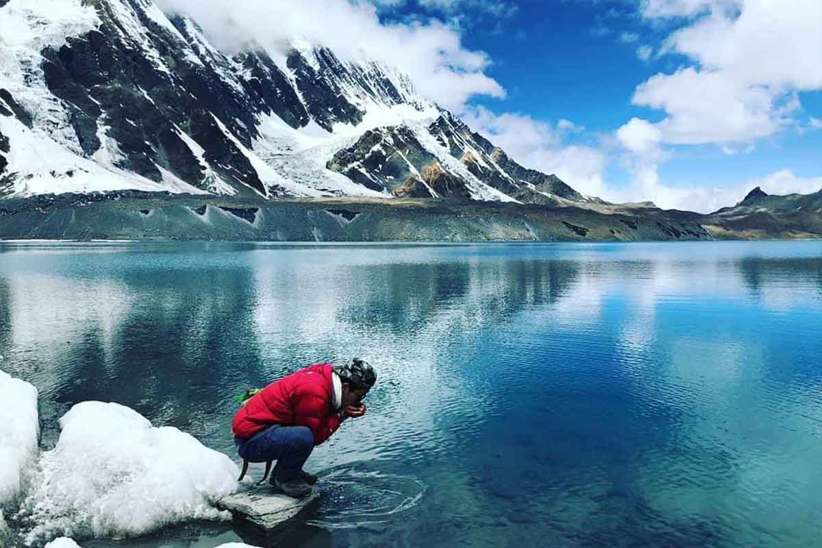
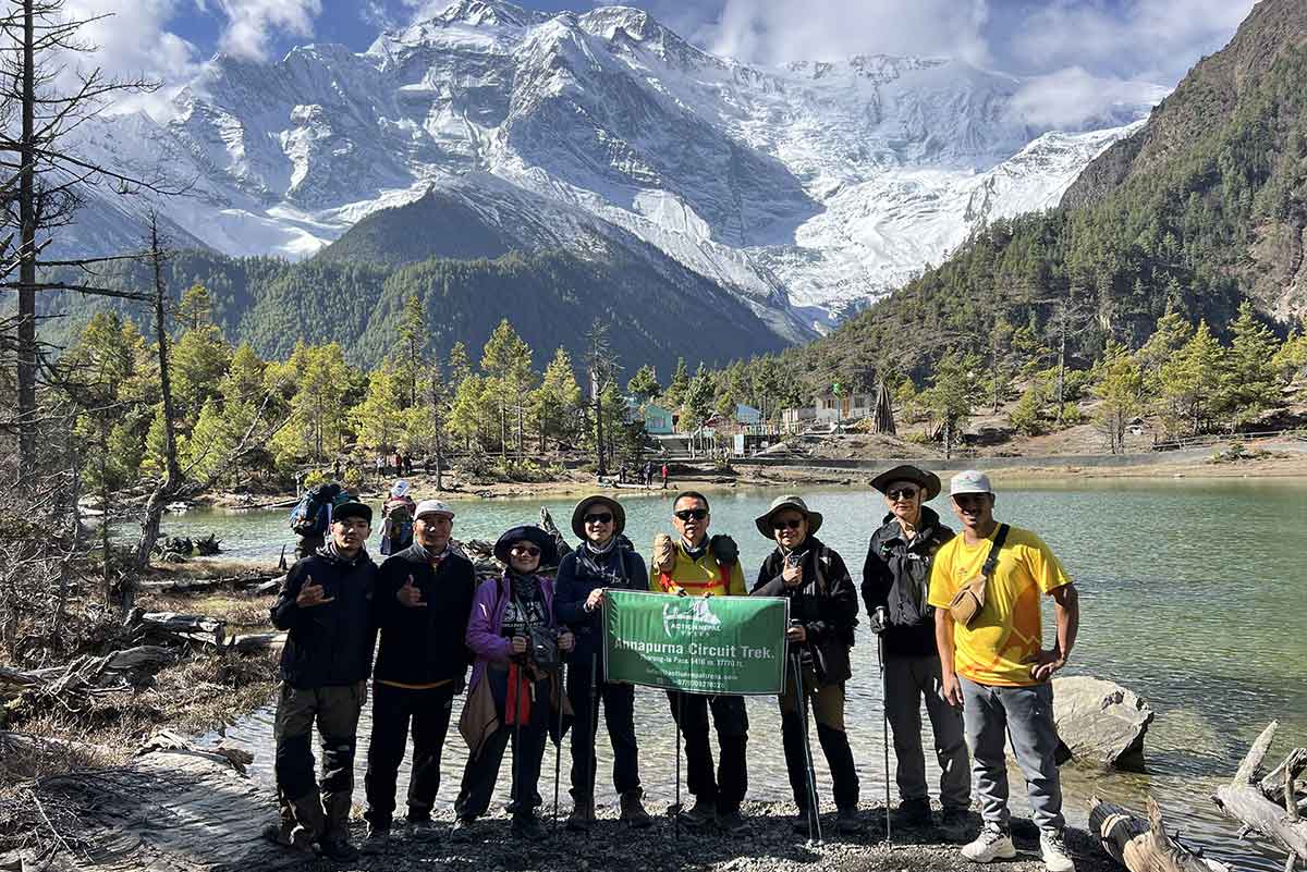
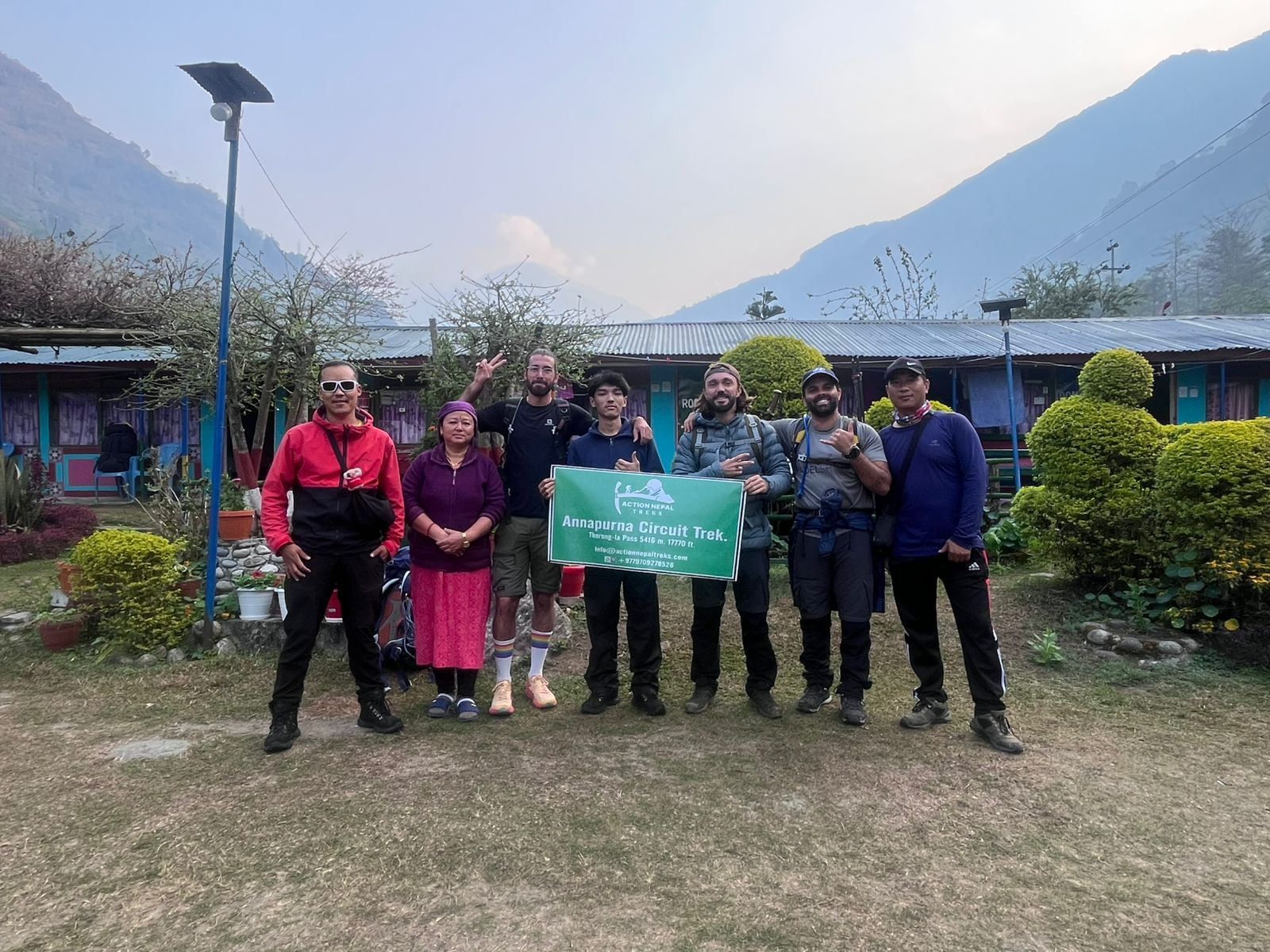
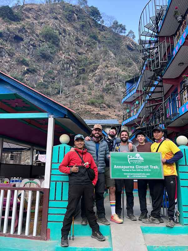
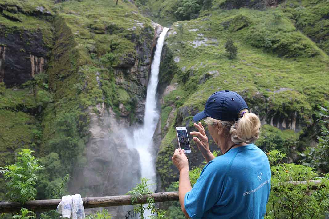
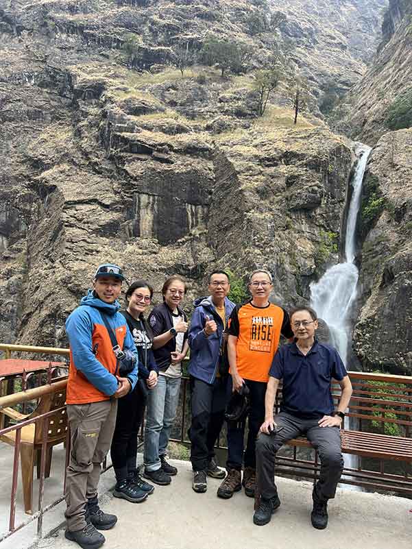
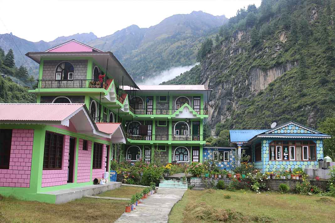
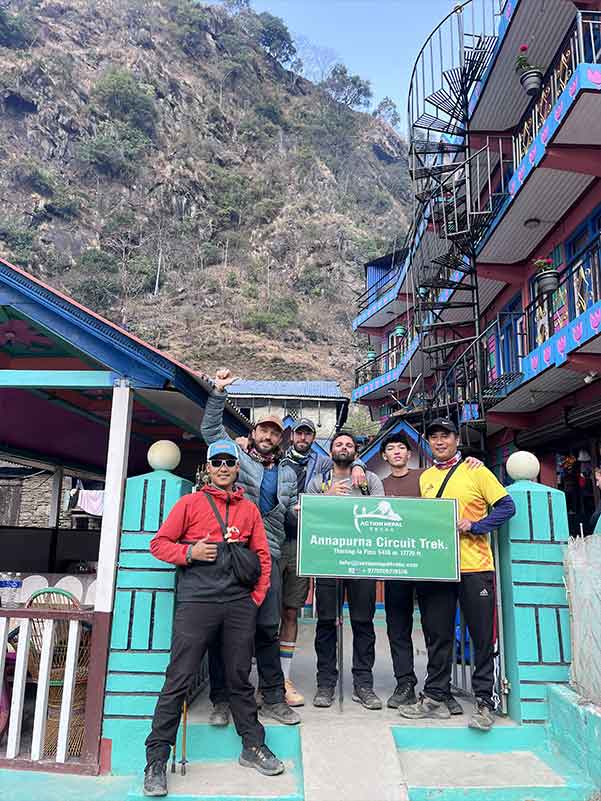
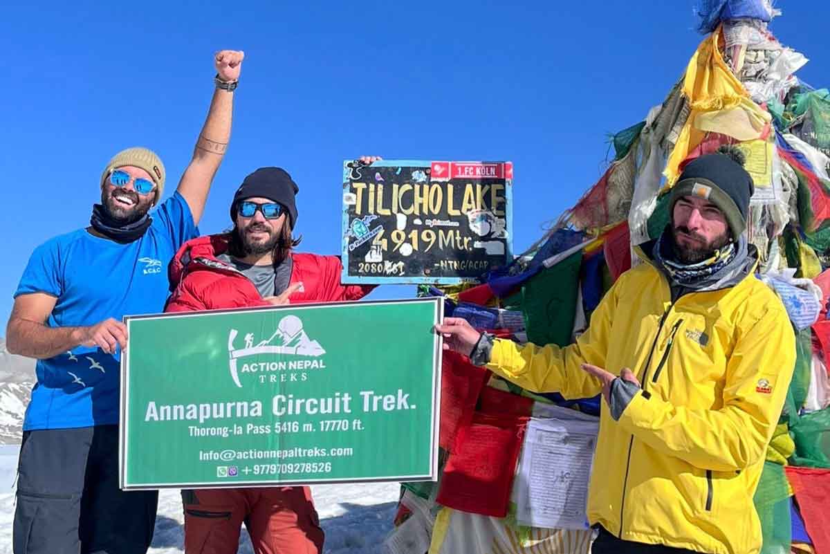
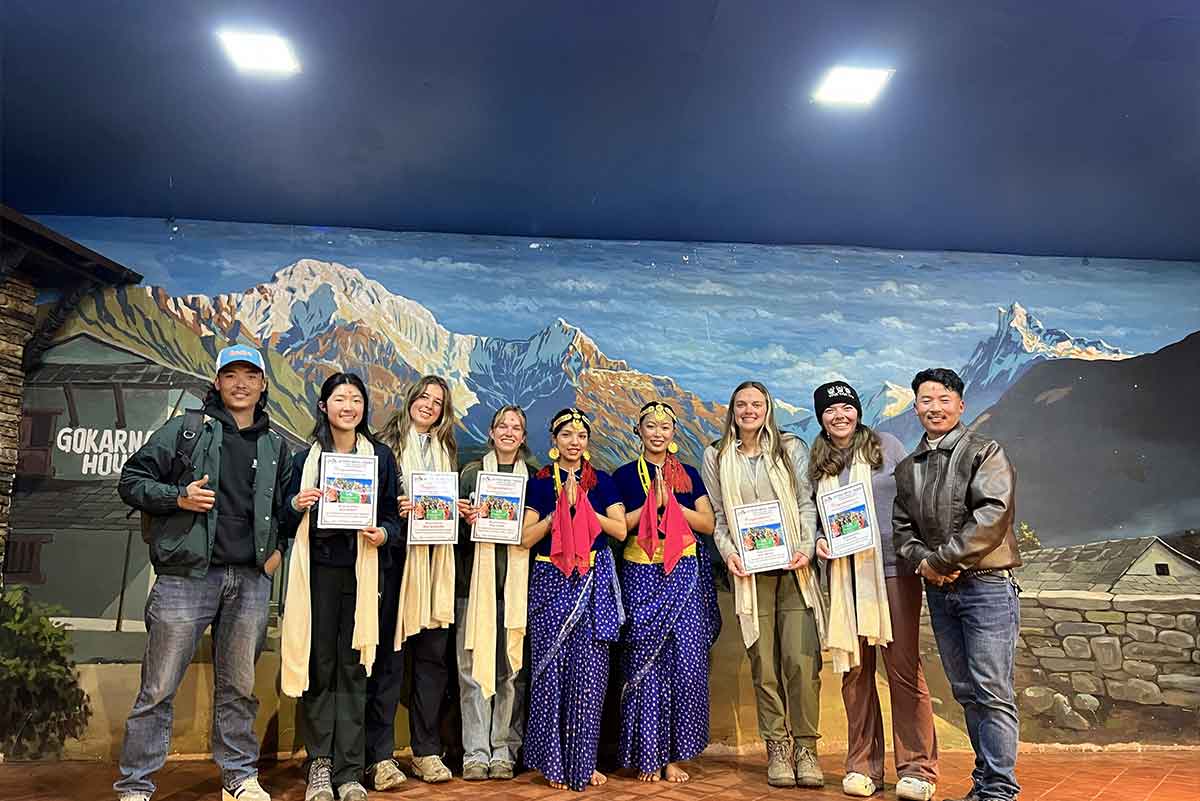
Benefits Of Trekking With Action Treks Nepal

Expert Local Guides

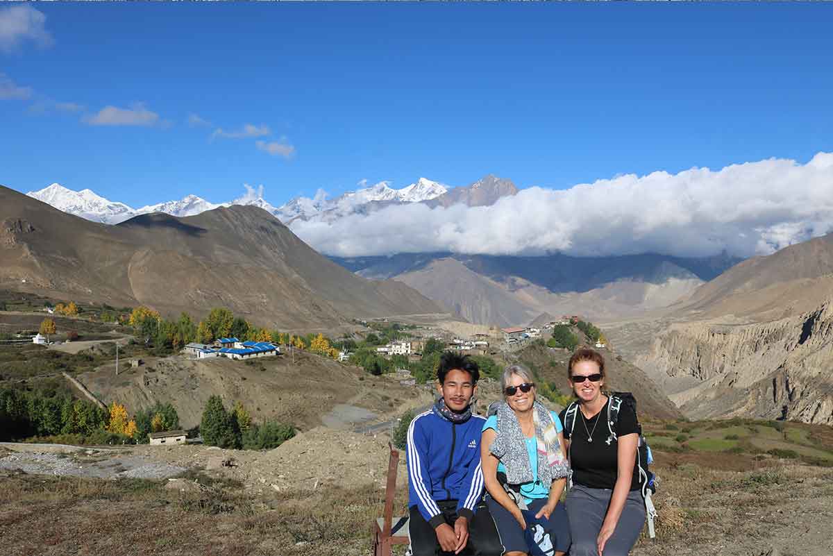
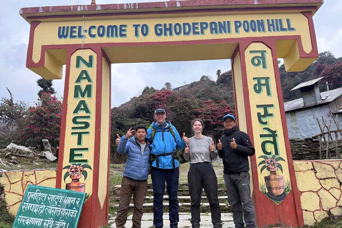
If you make your next trip booking with us, we assure you get an experienced guide with you. Our workforce has a team of well-informed and accomplished local guidesAs they are well-known about the region’s geography, culture, and customs, they assure you you have a safe and enjoyable trekking experience in the Himalayas.

Customized Itineraries

Looking after the needs and desires of our customers, we also have an option for you with a customization itinerary featureYou can choose from tailored trekking packages that cater to our specific interests, fitness levels, and schedules. Whether you prefer a leisurely trek or a challenging adventure, Action Trek Nepal can design an itinerary that suits our needs.

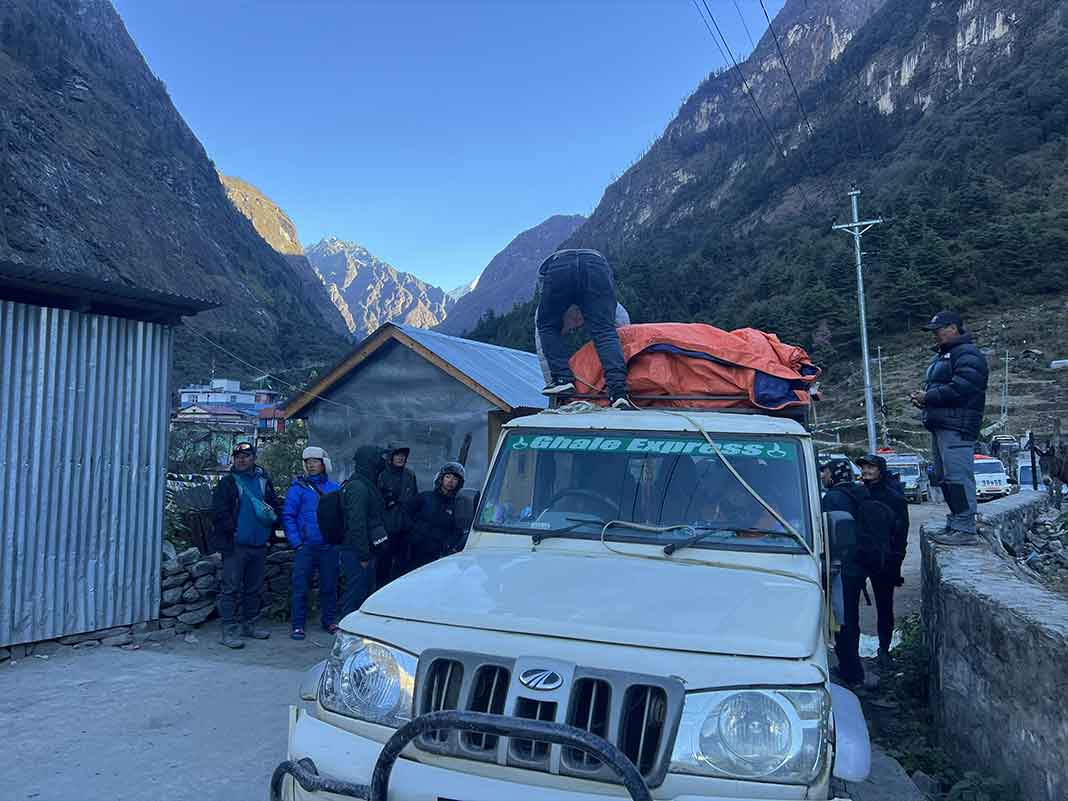
Comprehensive Support Services

You will receive complete logistical support from transportation and accommodation to meals and gear rental throughout our trek. This ensures a hassle-free experience, allowing us to focus on enjoying the journey. We will look after everything from permits and transportation to meals and accommodation.

Commitment to Safety

Our safety is a top priority for Action Trek Nepal. If you book with us, we will provide you with a thorough pre-trek briefing and safety equipment. We also provide you with a regular health check during the trek to help prevent altitude sickness and other potential issues.

Last-Minute Booking Flexibility

Action Trek Nepal offers the convenience of last-minute bookings, making it easy for us to join treks spontaneously. We understand that a plan can be made at any time. Thus, our last-minute booking features give you flexibility. This allows you to make a spontaneous and still experience the stunning beauty of Nepal’s trekking routes.

Booking Procedure

Want to make a booking with us? We, Action Nepal Trek, is an authorized and bonded trek and tour operator in Nepal, boasting more than a decade of experience. As a member of the Trekking Agency Association of Nepal (TAAN) and the Nepal Mountaineering Association (NMA), you can trust that your trip will be handled with professionalism and care.

Choose Your Trek: You can browse our selection of treks and select the one that suits your interests and fitness level.

Inquiry: To inquire about more detailed information about the trek, you can fill out our inquiry form or contact us directly via email or phone.

Receive Itinerary and Quote: We will send you a detailed itinerary along with a quote for the trek, including inclusions and exclusions.

Deposit: To secure your trip, a deposit of 10% of the total trip cost is required. You can make this payment via bank transfer, Western Union, or online through our website.

Documents Submission: Please email the following necessary documents within a week of booking:

  • Passport copy
  • Passport-sized photos
  • Travel insurance policy
  • Arrival and departure flight details

Remaining Payment: You can pay the remaining trip cost in cash, by bank transfer, or by credit card upon your arrival in Nepal. We will provide you with detailed payment instructions via email.

Best time for Tilicho Lake via Annapurna Circuit Trek

Spring
March to May

Spring is one of the best times for the Annapurna Circuit with Tilicho Lake. During this season, you will enjoy mild temperatures and blooming flowersThe weather is generally stable, making it perfect for trekking. You will see clear skies and beautiful views of the mountains. Many trekkers choose this time because the trails are not as crowded as autumn, so you can have a peaceful experience in nature.

Months Daytime Temperature (°C) Nighttime Temperature (°C)
March 10 to 15 0 to 5
April 15 to 20 5 to 10
May 20 to 25 10 to 15

Summer
June to August

Summer, or monsoon season, is usually not recommended for trekking in the Annapurna region. Heavy rainfall can cause landslides and make trails slippery. However, if you decide to trek during this time, you will find fewer tourists on the trails. The scenery is lush and green, and you might see waterfalls cascading down the mountains. Just be prepared for wet conditions and possible delays in your trek.

Months Daytime Temperature (°C) Nighttime Temperature (°C)
June 15 to 25 10 to 15
July 15 to 25 10 to 15
August 15 to 25 10 to 15

Autumn
September to November

Autumn is another excellent time for the Annapurna Circuit with Tilicho Lake. During that period, the weather is really cool and dry, thus making it ideal for trekking. You will have clear views of the mountains, and the autumn colors add to the beauty of the landscape. Many trekkers trek during this time, so you will most likely meet fellow hikers. The condition of the trails is good, and at this time, it is perfect for photography.

Months Daytime Temperature (°C) Nighttime Temperature (°C)
September 15 to 20 5 to 10
October 10 to 20 0 to 5
November 5 to 15 -5 to 0

Winter
December to February

Winter is the coldest season for trekking in the Annapurna region. You may try the trek but must be fully prepared to deal with snow on trails and freezing temperatures. Some areas might be closed due to heavy snow, especially around Tilicho Lake. However, if you love solitude and snowy landscapes, winter might be something other than what you perceive. Just make sure you have proper gear and check the weather conditions before you go.

Months Daytime Temperature (°C) Nighttime Temperature (°C)
December 5 to 10 – 5 to 0
January 0 to 5 -10 to -5
February 0 to 10 -5 to 0

Dates & Prices

Our fixed departure dates and per-person pricing make it simple for both solo travelers and small groups to join the adventure. It’s a great chance to meet new people and share the experience with other trekkers. Just choose your preferred date, and we’ll take care of the rest.

15 Days Annapurna Circuit Trek via Tilicho Altitude Chart

Altitude in:
Clothing
boot
backpack
sleeping bag
first-aid
trekking Gear
bottle
powerbank
passport

Clothing

  • Base layers
  • Insulating layers
  • Waterproof and windproof jacket and pants
  • Trekking pants
  • Trekking socks
  • Gloves
  • Hat/beanie and sun hat
  • Buff or scarf

Footwear

  • Trekking boots (waterproof, sturdy)
  • Camp shoes/sandals
  • Gaiters

Backpack and Accessories

  • Backpack (40-50 liters)
  • Daypack (10-15 liters)
  • Rain cover

Sleeping Essentials

  • Sleeping bag (-10°C to -20°C rating)
  • Sleeping bag liner

Navigation and Safety

  • Map or GPS device
  • Compass
  • First aid kit (including altitude sickness medication)
  • Water purification tablets or filter
  • Sunscreen (SPF 50+) and lip balm (SPF 30+)

Trekking Gear

  • Trekking poles
  • Headlamp with extra batteries
  • Sunglasses (UV protection)

Food and Hydration

  • Reusable water bottles or hydration bladder
  • High-energy snacks (energy bars, dried fruits, nuts)
  • Electrolyte tablets or powder

Personal Items and Toiletries

  • Toiletries (toothbrush, toothpaste, biodegradable soap, quick-dry towel, hand sanitizer)
  • Toilet paper and wet wipes
  • Power bank/solar charger
  • Earplugs and eye mask

Documents

  • Passport (or a copy) and permits (TIMS and ACAP)
  • Cash
Altitude in:

FAQs for Tilicho Lake via Annapurna Circuit Trek

Trip Reviews

Action Nepal Trek is a reliable trekking company run by a professional guide who has been active in Nepal’s tourism industry for 15 years.

Similar Trips

Join us on similar trips in the same region

View Details
Ghorepani Poon Hill Trek

Ghorepani Poon Hill Trek

View Details
Nar Phu Valley Trek

Nar Phu Valley Trek

View Details
Upper Mustang Trek

Upper Mustang Trek

USD 1,070/ pp